GIS and Remote Sensing

Imaging, Analysis, Planning, and Remote Monitoring

GIS and remote sensing technologies are powerful tools for site selection and analysis, environmental impact assessment, water resource management, and environmental monitoring and modeling.

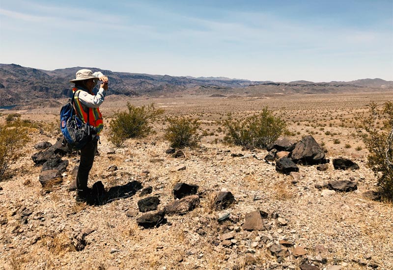
Headway Environmental uses advanced GPS, GIS, and remote sensing technologies to capture a range of data about the ecology of your project site. Our experts bring unique expertise in spatial statistics and data analysis to visualize, analyze, monitor, and report on your success in managing environmental issues, from pre-planning to project completion.

Desktop Review and Analysis

Headway Environmental uses aerial imagery, topographic data, and databases for resources such as streams, wetlands, FEMA floodplains, soils, federal and state listed species records and habitat, hazardous materials, and others, to perform desktop reviews and analyses to support your plans and decisions. These reviews are especially useful prior to site selection, during alternatives analysis, and prior to large wetland and stream delineation projects. We provide high quality maps and spatial data to summarize and document findings.

Wildlife Crossings and Hot Spot Analysis

Headway Environmental uses the most up to date data and established statistical analysis methodologies to monitor and assess wildlife movement patterns and help you determine the best areas to implement wildlife crossings and other animal-vehicle collision mitigation measures.

Our hot spot analysis capabilities include:

  • Coordination with state and local transportation agencies
  • Spatial statistical analysis
  • Spatial model development
  • Potentially suitable locations for wildlife crossings
  • Mitigation procedures

Land Use Planning

Headway Environmental can help accelerate the permitting process with a wide variety of spatial data and in-depth GIS analyses at the pre-planning stage of your project, helping you locate service and utility corridors and routes that avoid or mitigate potential impact on the environment.

Our land use planning capabilities include:

  • In-depth GIS analysis
  • Critical placement planning
  • High-resolution mapping

Image Classification

Headway Environmental uses advanced GIS and remote sensing imagery to create satellite image classifications to help categorize land uses and habitats quickly and accurately. This process contributes critical data to rural, urban, or suburban development planning and potential environmental impacts.

Our image classification capabilities include:

  • Remote sensing
  • Image data analysis
  • High-resolution imagery

Water Quality Monitoring

Our GIS analysts and ecologists use Headway Environmental’s proprietary technology to perform measurements of water quality parameters from satellite image data.

Our water quality monitoring capabilities include in situ water quality collection and analysis of satellite imaging data to determine appropriate correlations. This data can be especially useful for water bodies experiencing hyper-eutrophication and algae blooms. Continuous analysis of water quality parameters including phosphorus, turbidity, chlorophyll a, and phycocyanin is possible in most cases.

Get the GIS and Remote Sensing Brochure
Waters and Wetlands Planning

Streamline your path to environmental approvals.

Contact Headway Environmental today.